Weblog: Portland Cycle Tour: North Cove > Svensen
<< Previous Entry | Next Entry >>
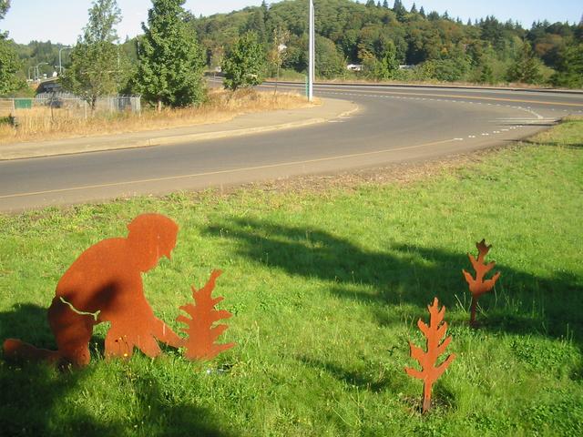
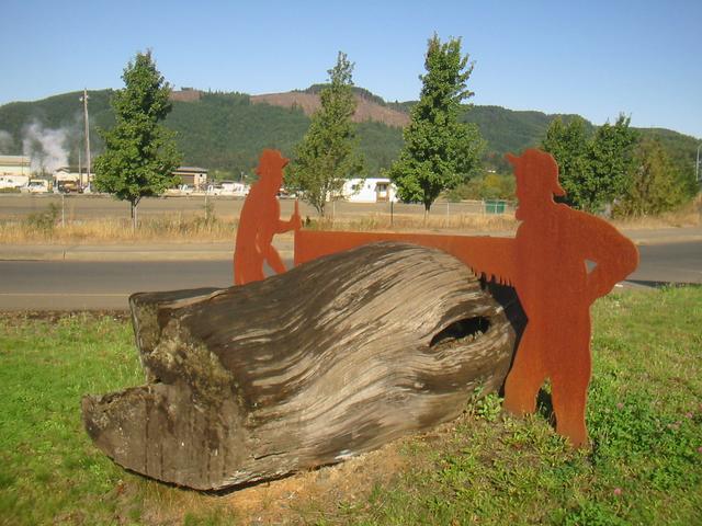
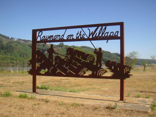
I got another early start, leaving around 6:15am and continuing east along SR 105. I stopped for a second breakfast in Raymond, which is a very nice logging town that is packed full of slightly cheesy but nice metal sculptures of wildlife and people. The restaurant actually had an Atkins Diet menu, which I thought was interesting. I also picked up some hex wrenches at the hardware store so I could adjust the height of my handlebars. From Raymond I took US 101 south.
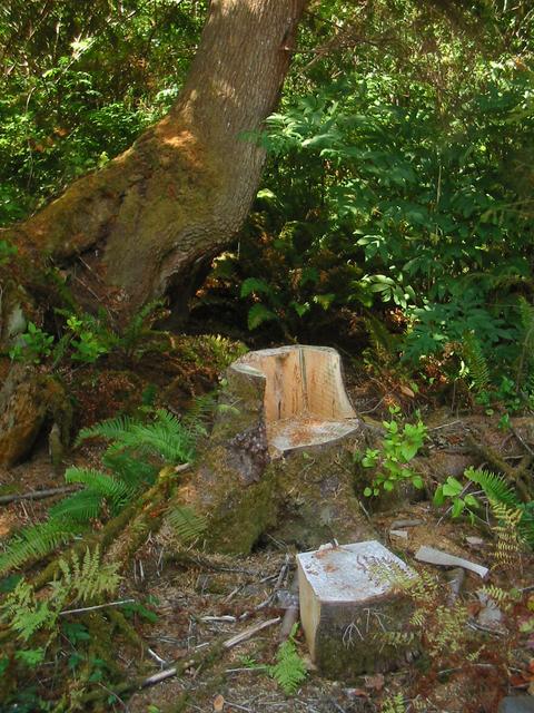
Just as I was getting hungry for lunch and was looking for a good place to stop, there was a stump that had a chunk cut out of it to form a chair (the remaining stump) and table (the chunk that was cut out) right next to the highway. Aside from getting some pitch on my clothes, it was perfect.
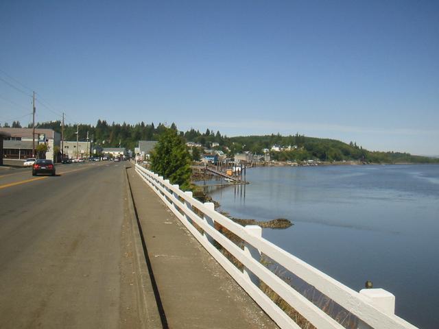
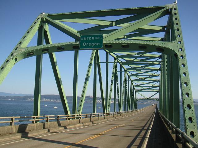
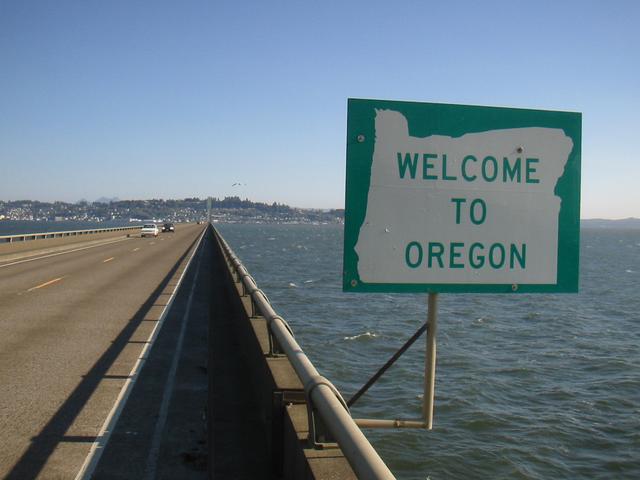
I had planned to camp at Fort Canby State Park near Ilwaco that night (it has hiker-biker sites and hot showers, and I really felt like I needed a shower) but due to the long weekend, the area was extremely busy so I didn't even bother to look at the park, just wanting to get away. I continued on and crossed the state border, taking the bridge over the Columbia Riverbridge into Astoria. If I had known that I would go all the way to Astoria, I could have cut off quite a lot of miles by taking SR 4 and 401, which would have bypassed Ilwaco and the Long Beach peninsula. Nearer Ilwaco, I could have also taken the US 101 cutoff for a shortcut. The 2mi long bridge was pretty scary, being only one lane each way with very narrow debris-covered shoulders and heavy long weekend traffic.
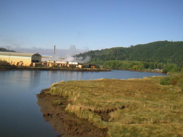
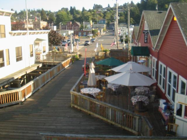
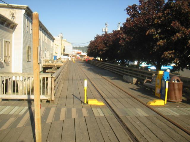
I had a quick look around Astoria and ate dinner at Subway. At this point it was only around 6pm, and I figured that if I pushed myself I could make 100 miles that day, so despite Astoria looking like a nice place to spend a bit of time (too bad the main road through town starts off as an ugly strip, which up to then I hadn't seen in Washington State), I continued east along US 30, which follows the Columbia River all the way to Portland. All along here there were Espresso stands, which I hadn't seen much of up to now.
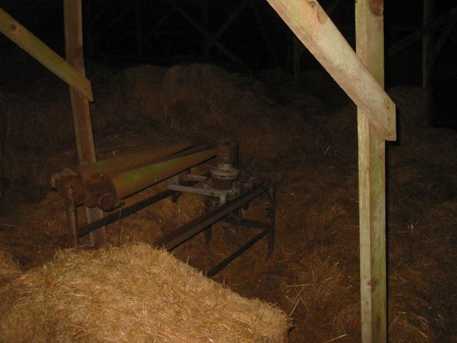
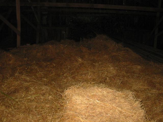
Just after passing the 100mi mark, I found a hay barn to sleep in, which was definitely the most interesting place of the trip that I spent the night. It was just off the highway, but some distance and hidden from any houses, and right away I got a good feeling about it when I saw it. I was feeling mighty hobo-ish.
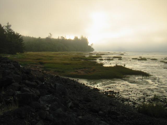
The weather was misty and cold in the morning, then got sunny and warm in the late morning.

Distance: 162.37km today,
535.49km total;
Average Speed: 20.0km/h;
Time: 08:06:14
Posted
on
Sat, 30 Aug 2020
at
Svensen,
WA,
US
(altitude 47m)
(map/google earth)
Copyright 1995-2006 Emanuel Borsboom.
All content on this site is licensed under a
Creative Commons License,
unless otherwise specified.