Weblog: Portland Cycle Tour: Quinault Lake > North Cove
<< Previous Entry | Next Entry >>
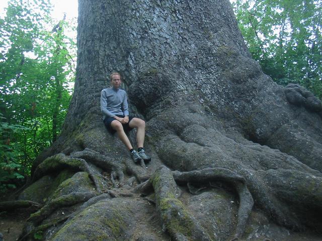
I got up dawn and left without breakfast because I didn't want to risk anyone being around the cemetary. First thing I did was find the Sitka Surprise geocache I had intended to find yesterday, which was very easy, and I guess I can now say I've seen the world's largest Sitka Spruce. Incidentally, there is a mountain called "Colonel Bob" in the Quinault area. I like that name.
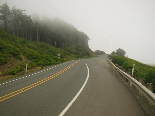
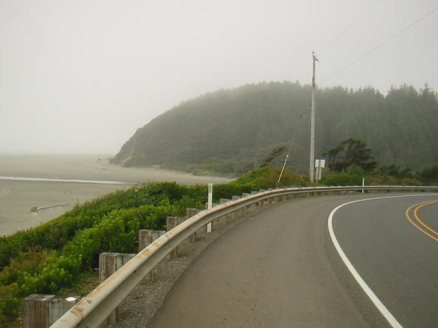
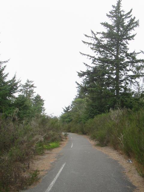
I wanted to stick to the coast as much as possible, so I took the "Moclips Highway" west from near Quinault to Moclips. On my maps this road was either not indicated at all or indicated as a dirt road, but when I was at the intersection somebody stopped and asked if I needed any help. He told me the road is good and that it's quite flat. It turns out the road was just recently paved. I'm glad I took it, because I rather like the Moclips area. It's all oceanfront, but without the usual type of development and a bit dillapitated (just the right amount) with some boarded up houses and buildings. The only thing I didn't like was the "no trespassing" signs everywhere. Locals tell me that the area discourages outsiders from doing any development, which I think is wise. Later on I went through Ocean Shores, which is the opposite. It's full of big chains and hotels, and is just awful, one of the ugliest places I've ever seen.
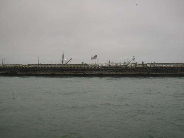
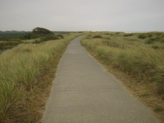
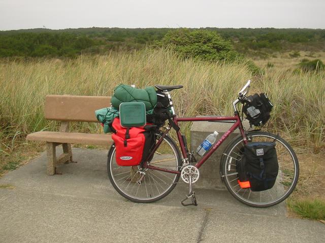
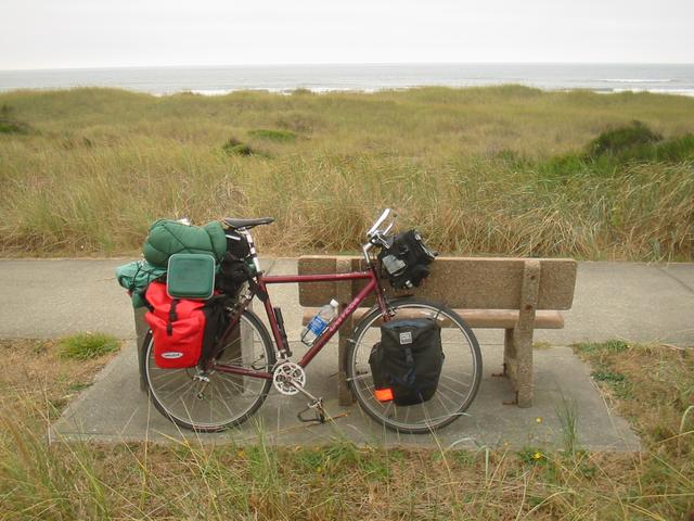
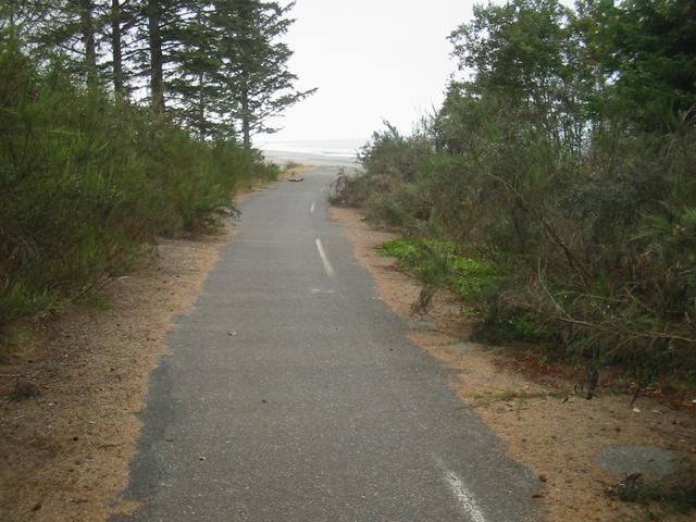
From Moclips I took SR 109 and SR 115 south to Ocean Shores, then I took a small passenger ferry accross Grays Harbour to Westport. The ferry docked at the attractive marina, which was close to an oceanside trail that went along the rolling sand dunes and reminded me of Holland. Along that trail I found the Jetty to Lighthouse Trail geocache and then went looking for a good place to camp, even though it was fairly early. It looked like there would be some good places in the dunes, so I went looking for a grocery store, and once I found one ate some BBQ chicken for dinner. It was only 6pm, so I decided to get some more miles in before dark.
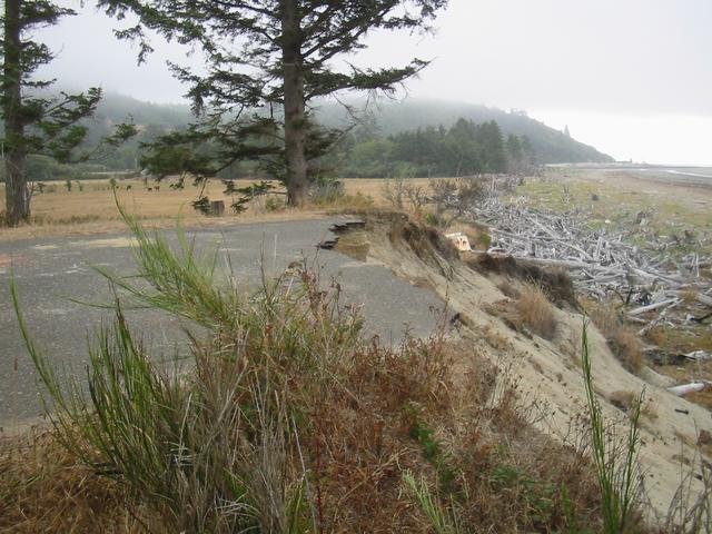
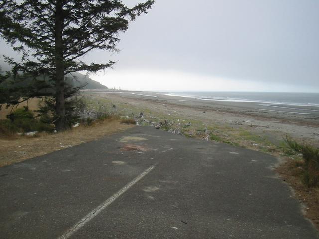
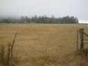
From Westport, SR 105 took me south and then a little ways east, when I saw a road that was signed "Old State Route 105." I was curious, and figured it would be easier to find an interesting camping place along this road, so I followed it. About 100m along, there was a "road closed" sign and a big mound of dirt covering the road, which I pushed my bike over. About 100m further on, the road abruptly ended when it went over a cliff just before the beach. The ocean must have eroded the ground the highway was on. Just a little bit down was a field with a barn and some cows, and beside that (outside the fence), quite a nice area which was mostly clear except for some Scotch Broom. In a little grove I found a great spot to camp.
The weather was overcast or misty all day.
Distance: 122.47km today,
373.12km total;
Average Speed: 19.2km/h;
Time: 06:22:56
Posted
on
Fri, 29 Aug 2020
at
North Cove,
WA,
US
(altitude 4m)
(map/google earth)
Copyright 1995-2006 Emanuel Borsboom.
All content on this site is licensed under a
Creative Commons License,
unless otherwise specified.