Weblog: Portland Cycle Tour: Olympic Hot Springs > Fairholm
<< Previous Entry | Next Entry >>
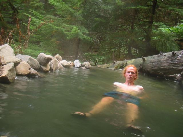
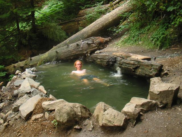
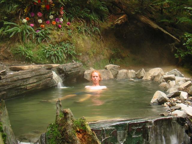
I got up around 7 and went to the hot springs again, this time exploring the trail further. I think I reached the last pool, which is certainly one of the most beautiful, largest, and deepest. The bottom of the pool was covered in carpets, and someone had planted flowers nearby. I think I spent altogether an hour and a half there. After breakfast, I finally was on my way at 11 and returned to US 101, continuing west.
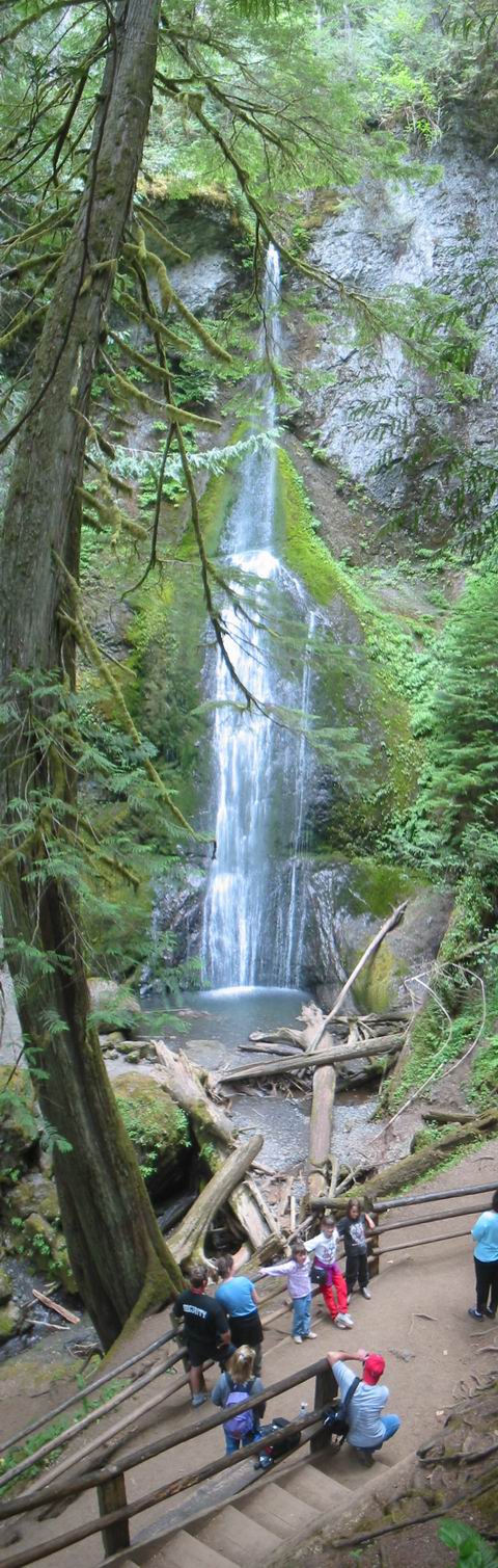
I stopped along Crescent Lake to walk to Marymere falls, which were worth the short walk to see. The winding stretch along Crescent Lake was a bit scary, with narrow/non-existant shoulders. Some of the drivers were insane, passing at high speeds around blind corners.
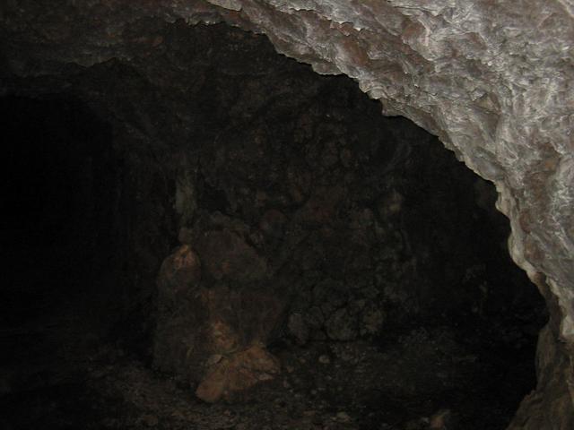
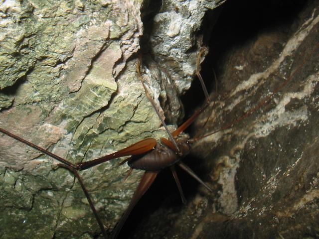
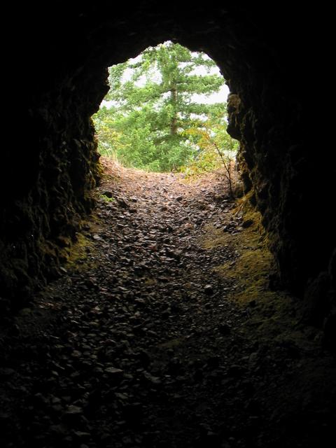
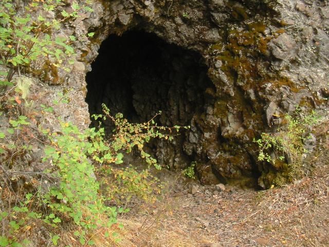
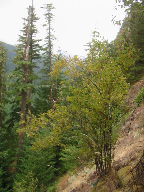
I stopped shortly after reaching the west end of Crescent Lake to find the Manganese Mines geocache. This was the most difficult geocache I've ever had to find, and involved climbing a long way up slag at a 45 degree angle. I nearly went rolling/sliding down the hill many times, and near the top I also got to contend with a nearby cliff. I only reached one of the mines, but it was interesting to explore a bit. The bats startled me all the time, especially when I swung my flashlight (I bought one in a store along the way) and suddenly a few would fly right by my head. There were some interesting insects in the cracks as well. Once I got a few hundred metres in, I started hearing some strange sounds and things were starting to feel too much like Moria, so I got out of there.
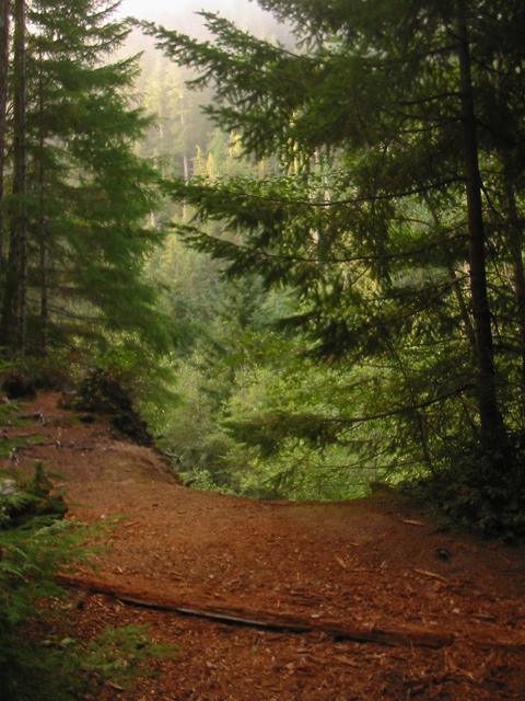
I had intended to cycle farther than day, but it was getting late by the time I got back from the cache, so I camped in the woods where I had left my bike to find the cache along an old overgrown logging/mining road near the highway.
Distance: 51.31km today,
90.80km total;
Average Speed: 17.87km/h;
Time: 02:52:36
Posted
on
Tue, 26 Aug 2020
at
Fairholm,
WA,
US
(altitude 333m)
(map/google earth)
Copyright 1995-2006 Emanuel Borsboom.
All content on this site is licensed under a
Creative Commons License,
unless otherwise specified.